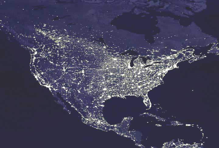
Where do people live in relation to river networks? Human societies evolved alongside rivers, but how are modern human societies related to rivers? Our paper
Globally universal fractal pattern of human settlements in river networks just published in
Earth’s Future (
here) is the second in our series of papers on this question. We conducted a global analysis to assess the linkages between river geomorphologic structure and human settlement patterns. We analyzed global satellite-derived nightlight data (where people live) in comparison to maps of all the rivers on the Earth. We found globally consistent patterns of preferential downstream clustering of human settlements. Across all six populated continents, human settlements are clustered near the outlets of major river basins, with settlement density decreasing exponentially with distance upstream. This downstream clustering suggests an optimum distribution of humans in large river basins for trade, transport and resource utilization. However, there are also attendant implications for human impacts on rivers. The characterization of settlement patterns therefore suggests where water quality and ecosystem health may be most at risk.
We are a downstream civilization!

This work is the second in our series on understanding the spatial relationships between human settlements and water resources. Our recent post “Where do people live?”, highlights the first installment of the series, where we developed models of the U.S. population from 1790 to 2010. Our third paper on this topic examines the historical evolution of human distance to water. Coming soon!

